Tactical NAV
Jonathan J. Springer
Downloads
10,000+
Source
Google Play
Advertisement
Click to download now, finish the installation quickly, and directly unlock the all-round experience
Advertisement
Screenshots
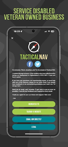
Click to download now, finish the installation quickly, and directly unlock the all-round experience
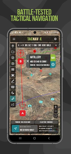
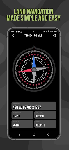
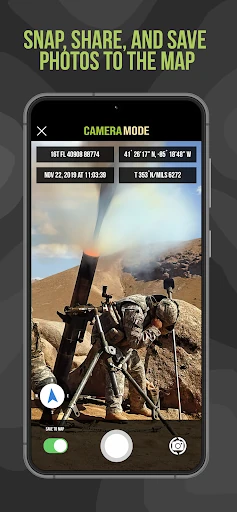
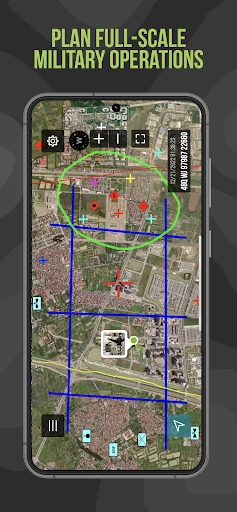
Tactical NAV stands as a uniquely specialized entry in the Maps & Navigation category, distinguishing itself from civilian-grade GPS tools through its rigorous military-centric development. Originally conceived by a U.S. Army Field Artillery officer during a combat deployment in Afghanistan, the app is engineered to provide precision on par with the AN/PSN-13 DAGR. Within the broader navigation landscape, Tactical NAV serves as a high-fidelity alternative to standard government-issued hardware, offering 1mm accuracy compared to official systems like ATAK and Nett Warrior. It is less of a consumer "hiking" app and more of a tactical mission-planning platform, bridging the gap between professional military hardware and the accessibility of mobile technology.
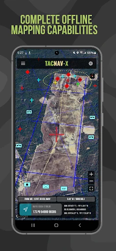
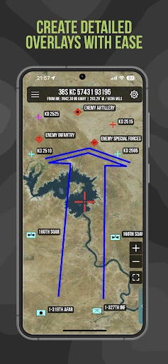
The design philosophy of Tactical NAV prioritizes utility and reliability over aesthetic flair. Developed using native Android code, the interface is optimized for speed and responsiveness in austere environments. Unlike consumer navigation apps that clutter the screen with points of interest (POIs), Tactical NAV provides a clean, data-heavy interface focused on grid references and situational awareness. The UI is built to be "glove-friendly" and readable in varying light conditions, reflecting its origins in the rugged Pech River Valley. While the learning curve may be steeper for a civilian, the logic of the layout follows military doctrine, making it highly intuitive for its intended user base.
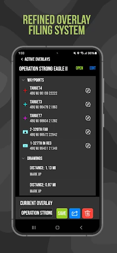
While Tactical NAV is robust, the user experience could be further enhanced by incorporating peer-to-peer data sharing via Bluetooth or local Wi-Fi to allow team members to sync overlays without needing a central server. Additionally, integrating more granular topographical map layers with higher resolution contour lines would benefit users operating in extreme vertical terrain. Expanding the IAP model to include a "one-time purchase" lifetime license for all features might also appeal more to long-term service members than the current subscription-based offline mapping model.
Tactical NAV is an essential tool for military service members, search and rescue teams, and tactical professionals who require precision beyond what Google Maps or even high-end outdoor apps can provide. Its pedigree as a tool built in combat environments is evident in its stability and coordinate accuracy. While it shouldn't replace a primary government-issued device in high-threat environments, it serves as the ultimate secondary navigation platform for training, planning, and field operations. If you require MGRS precision and military-standard graphics on your mobile device, this is the gold standard.